SERVING ROCK HILL, CHARLESTON SC, MOORESVILLE AND CHARLOTTE, NC
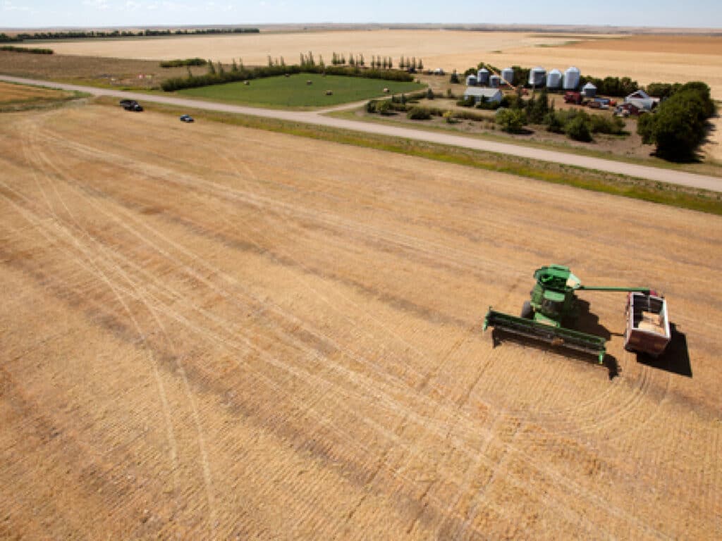
Through the use of UAVs, we can help identify areas of plant stress, detect symptoms of pests infestation or nutrient application issues. Identified issues can be quickly shared with agronomists and field staff to diagnose and treat each problem. Flights can be conducted on-demand as growers desire. Image analysis tools transform aerial imagery into actionable data, allowing growers to detect and treat early-onset crop issues, resulting in long-term savings and improved crop health.
Contact Envision Air
ENVISION Air offers drone-mounted LiDAR and infrared thermography services for a wide range of industries, including construction, agriculture, and emergency services, providing safe and efficient solutions for terrain measurement, inspection, and monitoring.