SERVICE
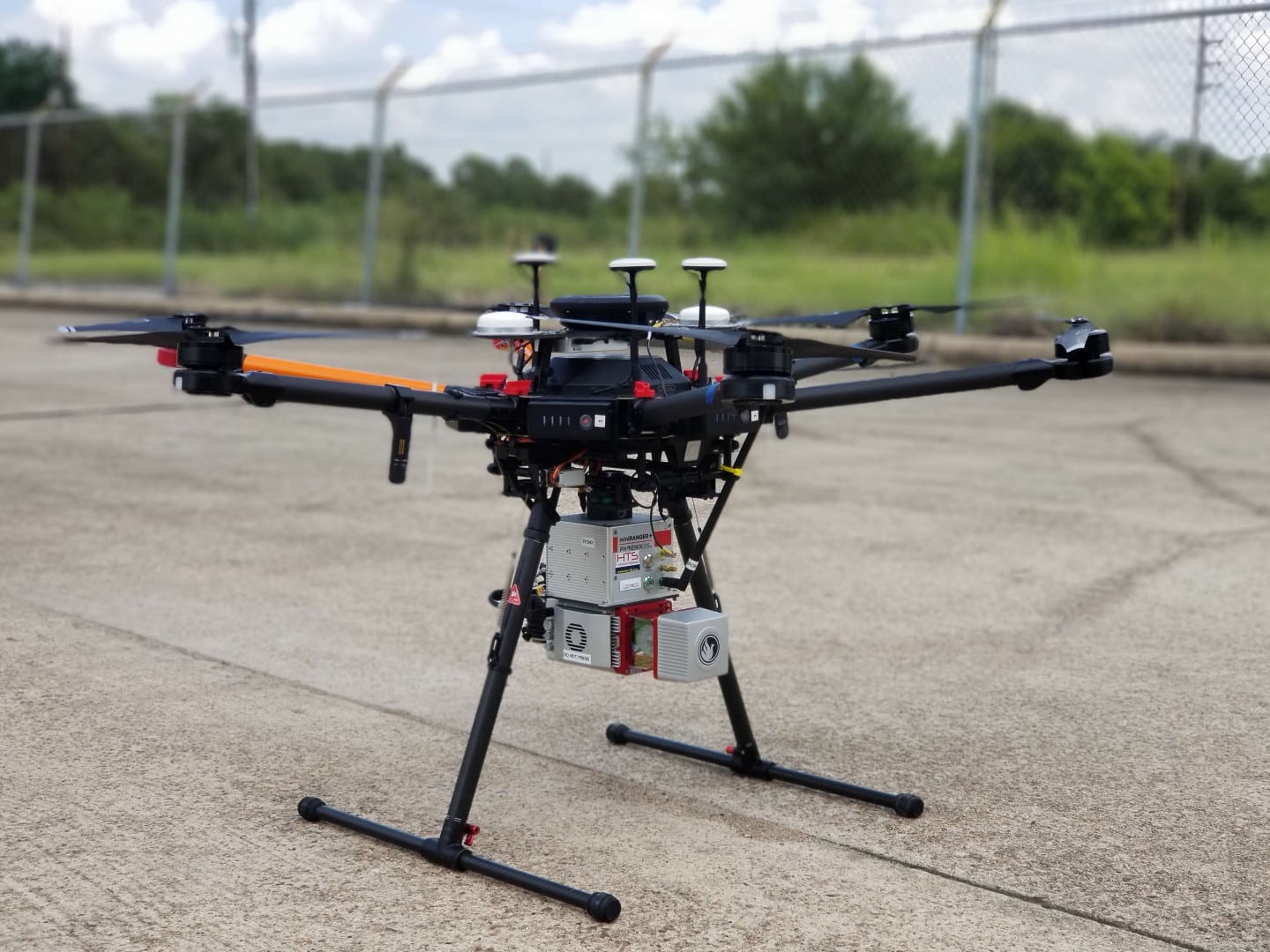
LIDAR – Light Detection and Ranging

LIDAR- Light Detection and Ranging
SERVING ROCK HILL, CHARLESTON SC, MOORESVILLE AND CHARLOTTE, NC
We can help you measure terrain to design or monitor construction site progress, create drainage systems, conduct power line maintenance and inspections, inspect solar farms and telecommunication towers, reconstruct accident sites, monitor pipelines and manage assets as well as many more projects in a variety of industries.
Contact Envision Air

ENVISION Air offers drone-mounted LiDAR and infrared thermography services for a wide range of industries, including construction, agriculture, and emergency services, providing safe and efficient solutions for terrain measurement, inspection, and monitoring.


