SERVICE
Turf Solutions

IMPROVE THE QUALITY OF YOUR TURF
AERIAL INFRARED THERMOGRAPHY SERVICES IN COLUMBIA & ROCK HILL, SC, MOORESVILLE AND CHARLOTTE, NC
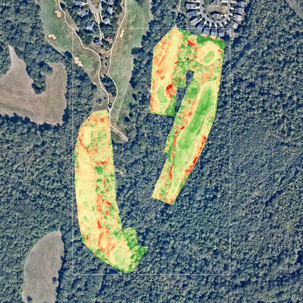
We are able to track specific turf problems such as yellowing/browning spots and potential over watered or under watered areas and disease. Each critical area can be monitored over time to show reduction in turf browning, improving course appeal. Targeted areas dramatically improve chemicals and nutrient usage efficiency – only use what you need where you need it. The problems will be tracked, follow up tasks can be assigned to maintenance crew members, and the progress can be monitored over time saving you money in the long run. Detecting areas with high stress provides you and your team with valuable information to take action. Aerial image analysis can detect stress not yet visible to the human eye.
Contact Envision Air

ENVISION Air offers drone-mounted LiDAR and infrared thermography services for a wide range of industries, including construction, agriculture, and emergency services, providing safe and efficient solutions for terrain measurement, inspection, and monitoring.


